Custom made maps
If the idea of unique or bespoke mapping appeals to you then no doubt you’ll already be well aware of our OS Explorer Map – Custom Made and OS Landranger Map – Custom Made range. These new products,...
View ArticleMaintaining national coverage of paper maps in Great Britain – commitment...
You may have read articles in the media recently which reported that Ordnance Survey is to end its policy of routinely producing maps that cover the whole country. This is simply not true. We would...
View ArticleUsing maps for photography
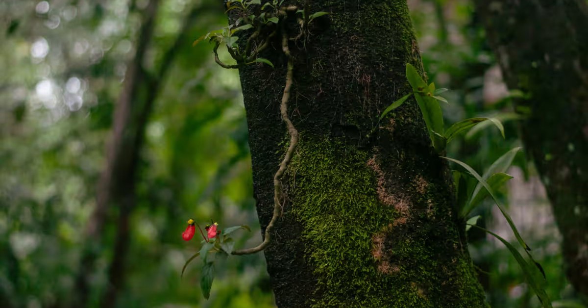
To introduce myself briefly, my name’s Dominic and I’m a member of the team that manages the OS website. Landscape photography is one of my passions outside work and I suspect that it’s one shared by...
View ArticleOrdnance Survey’s paper maps – can you make the cover? Launching the...
Today, we are launching a brand new competition for 2015 – OS Photofit – and we can’t wait for budding photographers across Britain to get involved! To support our recent brand refresh and in light of...
View ArticleA history of paper maps
We’ve recently launched our OS Photofit competition, giving you the chance to see your photos on the latest covers of our paper map ranges. This isn’t the first change we’ve made to our map covers, you...
View ArticleA history of the OS Landranger map
The OS Landranger map is well loved by all outdoor enthusiasts. Its history, as the leisure map to use for planning days out and activities extends back many years and several generations have relied...
View ArticleHow often do we update our paper maps?
I’m told by my colleagues in the customer service team that one of the most common questions we’re asked is ‘how often do you update your paper maps?’ It’s a very good question. But there isn’t a ‘one...
View Article